![آموزش ساخت زمین با استفاده از داده های ماهواره در هودینی]()
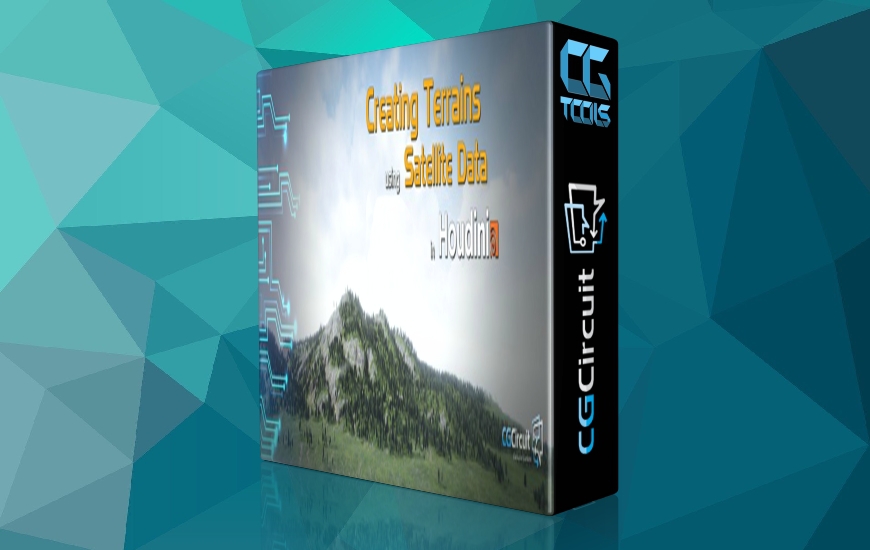
در این دوره، مدرس David Cgmk تکنیک های پیشرفته ای را برای تولید زمین ها و مناظر پیچیده در برنامه Houdini آموزش می دهد که یاد می گیرید چگونه از آنها در داخل یک موتور بازی مانند Unreal Engine 4 استفاده کنید. مدرس بیشتر روی نحوه ایمپورت و پردازش داده های توپوگرافی ماهواره ایی تمرکز خواهد کرد. پس از مشاهده این دوره، شما باید اعتماد به نفس خود را بالا ببرید که بتوانید از داده های ماهواره ای در دنیای واقعی استفاده کرده و آن را با تکنیک های پیشرفته زمین در داخل Houdini ترکیب کنید تا مناظر شگفت انگیزی تولید کنید.
مشاهده توضیحاتــ انگلیسی
In this online course, the viewer will build upon the workflows of the first tutorial and learn advanced techniques for generating more complex terrains and landscapes with Houdini and to use them inside a game engine like Unreal Engine 4.
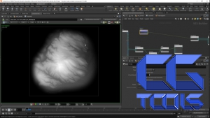
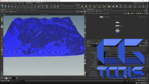
We will be focusing mostly on how to import and process satellite topography data to:
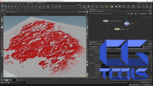
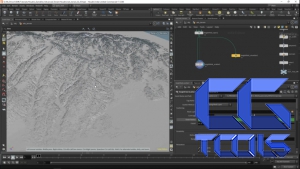
– Convert point clouds into actual height fields with multiple layers of information including vegetation scattering masks.
– Convert it into game assets with baked maps
This course has been designed for intermediate users who have a good knowledge of Houdini and ideally who have watched the Introduction to Terrain Generation for Games with Houdini course.
After viewing this course, people can expect to be able to use real world satellite data and combine it with advanced terrain techniques inside Houdini to generate amazing landscapes.
Even though this course focuses on game engine application, these techniques can also be applied in VFX for Environment creation.
