![آموزش ضروریات ابزار Map 3D در اتوکد]()
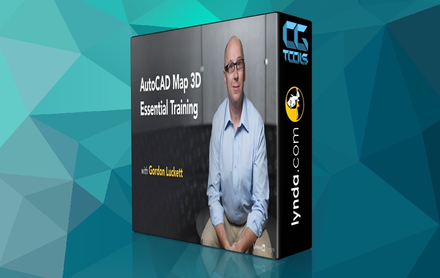
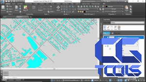
در این دوره، مدرس Gordon Luckett به آموزش نکات و ضروریات ابزار Map 3D در برنامه AutoCAD می پردازد. AutoCAD Map 3D اطلاعات نقشه شما را غنی می کند و آن را بصری و هوشمندانه تر می کند. مدرس نشان می دهد که چگونه از این ابزار قدرتمند برای ویرایش داده ها در نقشه های اتوکد موجود استفاده کنید و از منابع پایگاه داده های خارجی برای منابع جدید اطلاعات استفاده کنید. او همچنین نشان می دهد که چگونه به داده های GIS متصل شده و اطلاعات را تجزیه و تحلیل کنید و داده ها و نقشه های نهایی خود را به یک کتاب نقشه تحت وب منتشر کنید.
مشاهده توضیحاتــ انگلیسی
AutoCAD Map 3D enriches your map data, making it more visual and intelligent. With AutoCAD 2019, the Map 3D toolset ships free, bringing an intelligent geographic information system (GIS) to every AutoCAD drawing. Join Gordon Luckett in this course, where he shows how to use this powerful program to edit data within existing AutoCAD drawings and connect to outside databases for new sources of information. He also shows how to connect to, style, and analyze GIS data, and publish your data and final maps to a web-based map book. All of this and more is possible with AutoCAD Map 3D. Start watching, and learn how to bring the power of geodata to your DWGs.
