![]()
The Gnomon Workshop - Creating Terrains with Satellite Data - Volume 1
6.11GB | 477 Min | Project Files: Included | Software used: Maya, Photoshop
با سلام
این آموزش دارای 2 قسمت میباشد. در این قسمت Alex Alvarez با استفاده از نقشه های ماهواره ای به ساخت زمین و رشته کوه های مرتفع میپردازد.
مشاهده توضیحاتــ انگلیسی
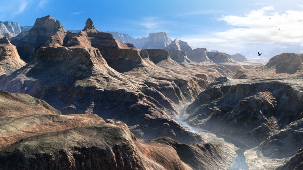
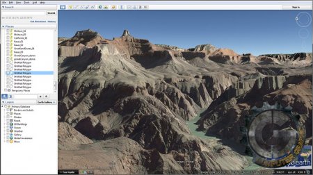
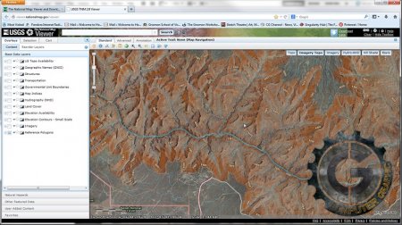
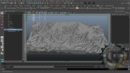
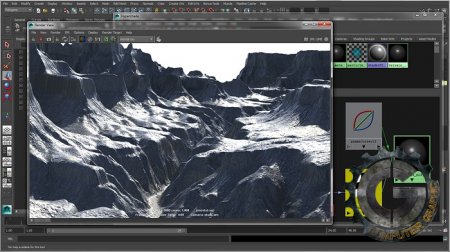
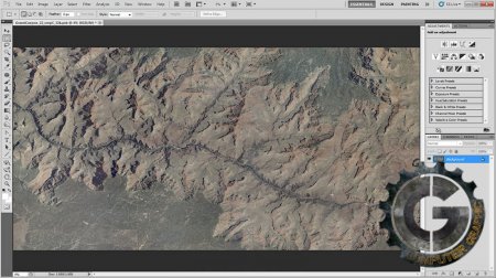
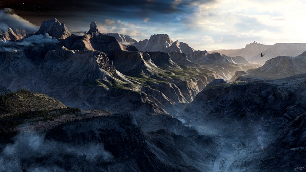
In this first DVD of a two-part series, Alex Alvarez shares his techniques for developing terrains using satellite data. In Volume One, the skills necessary to create terrains with a high-altitude camera are explored. We start by location scouting with Google Earth, settling on a region of the Grand Canyon to develop. The National Map, a free service from the USGS, is then used to download the corresponding elevation data (DEM) and satellite photos. As the data is delivered in tiles, we then use GlobalMapper to stitch, and re-tile, the data into a format that can be used in Maya. After removing shadows in Photoshop, Alex thoroughly explains how to setup displacements in Maya and Mental Ray, rendering with the Physical Sun/Sky system. He also delves into how to utilize multiple UV regions with multiple tiled textures on a single plane, allowing for the creation of vast terrains, often needed for fly-through animations. Creating the various textures, such as bump, reflection and gloss using the mia_material are demonstrated, as well as the use of the layered texture node. Filter Forge, a powerful Photoshop Plug-in, is also used to develop tileable procedural bump maps to improve the high-frequency detail of the terrain. Anyone interested in creating natural environments in a Maya based workflow will benefit from this thorough lecture and demonstration, whether it is to recreate real-world locations, or use them as a starting point for imagined environments.

